Veeva Territory Designer
Create Optimal Geographic Territories with Data-Driven Territory Design
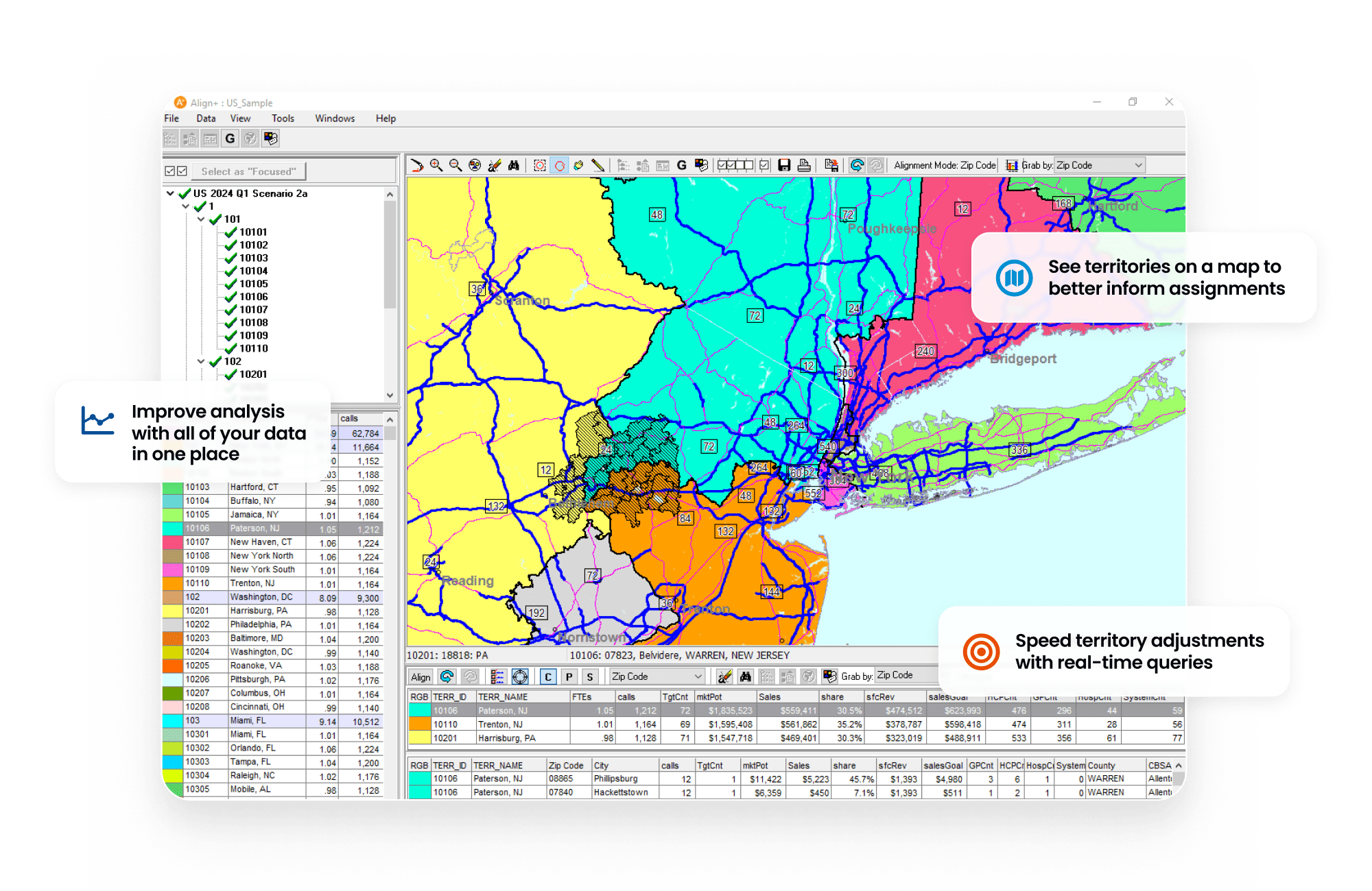
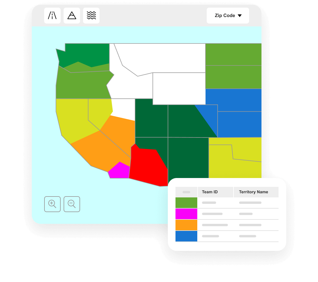
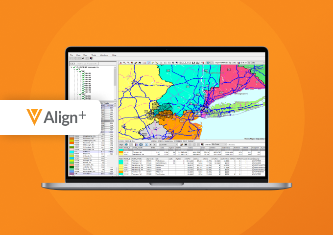
Veeva Territory Designer (formerly Veeva Align+) is a desktop application for defining geographic territory structure and hierarchy, and visualizing those territories on a map to support decision making. Maps can be exported to PowerPoint for external sharing and presentation.
Territory definitions are based on geography, aggregate workload capacity, aggregate market potential, and constraints such as drive time.
Territory Designer is natively integrated with Align, Veeva’s application for territory management, roster management, and engagement planning, ensuring seamless field deployment workflows.
Announced 2020 Status Mature Customers11-50
Learn more about agile and efficient field planning
Overview
Create Optimal Geographic Territories with Data-Driven Territory Design
Veeva Territory Designer (formerly Veeva Align+) is a desktop application for defining geographic territory structure and hierarchy, and visualizing those territories on a map to support decision making. Maps can be exported to PowerPoint for external sharing and presentation.
Territory definitions are based on geography, aggregate workload capacity, aggregate market potential, and constraints such as drive time.
Territory Designer is natively integrated with Align, Veeva’s application for territory management, roster management, and engagement planning, ensuring seamless field deployment workflows.
Why Veeva Territory Designer
Smarter, faster territory design
Customer Success
Trusted by leading biopharmas
Resources
Explore and Learn
Read Features Brief
Veeva Territory Designer Features Brief
Read Blog
Maximize Your Field Investment With Data-Driven Territory Design

Watch Demo
Streamlined Territory Design With Veeva Territory Designer
Read Blog
How to Accelerate Four Crucial Steps in Biopharma Field Planning

Watch Video
Discover Agile and Efficient Field Planning