Veeva Territory Designer
Create Optimal Geographic Territories with Data-Driven Territory Design
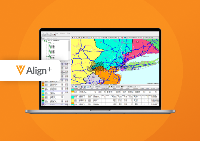
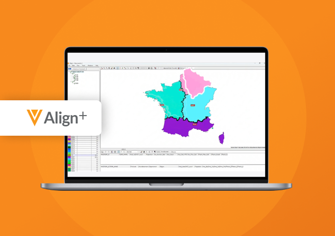
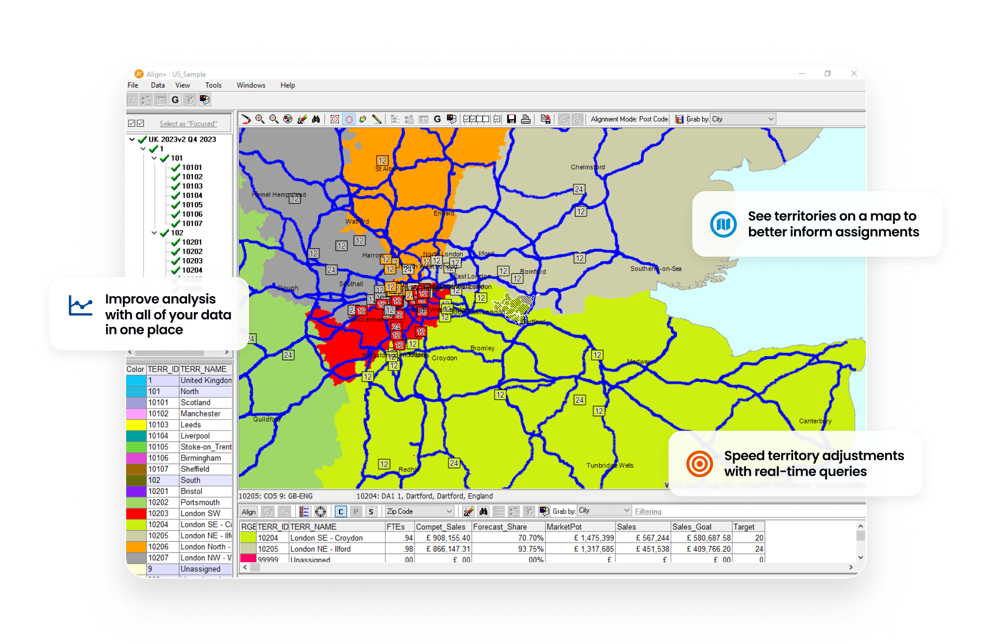
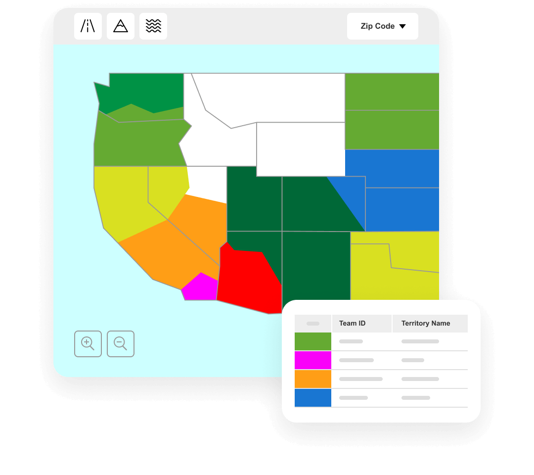
Veeva Territory Designer (formerly Veeva Align+) is a desktop application for defining geographic territory structure and hierarchy, and visualizing those territories on a map to support decision making. Maps can be exported to PowerPoint for external sharing and presentation.
Territory definitions are based on geography, aggregate workload capacity, aggregate market potential, and constraints such as drive time.
Territory Designer is natively integrated with Align, Veeva’s application for territory management, roster management, and engagement planning, ensuring seamless field deployment workflows.
Announced 2020 Status Mature Customers 11-50
See how to create strategically sized and structured territories
Overview
Create Optimal Geographic Territories with Data-Driven Territory Design
Veeva Territory Designer (formerly Veeva Align+) is a desktop application for defining geographic territory structure and hierarchy, and visualizing those territories on a map to support decision making. Maps can be exported to PowerPoint for external sharing and presentation.
Territory definitions are based on geography, aggregate workload capacity, aggregate market potential, and constraints such as drive time.
Territory Designer is natively integrated with Align, Veeva’s application for territory management, roster management, and engagement planning, ensuring seamless field deployment workflows.