
Veeva Territory Designer
データ主導のテリトリー設計により
最適な地理的テリトリーを作成
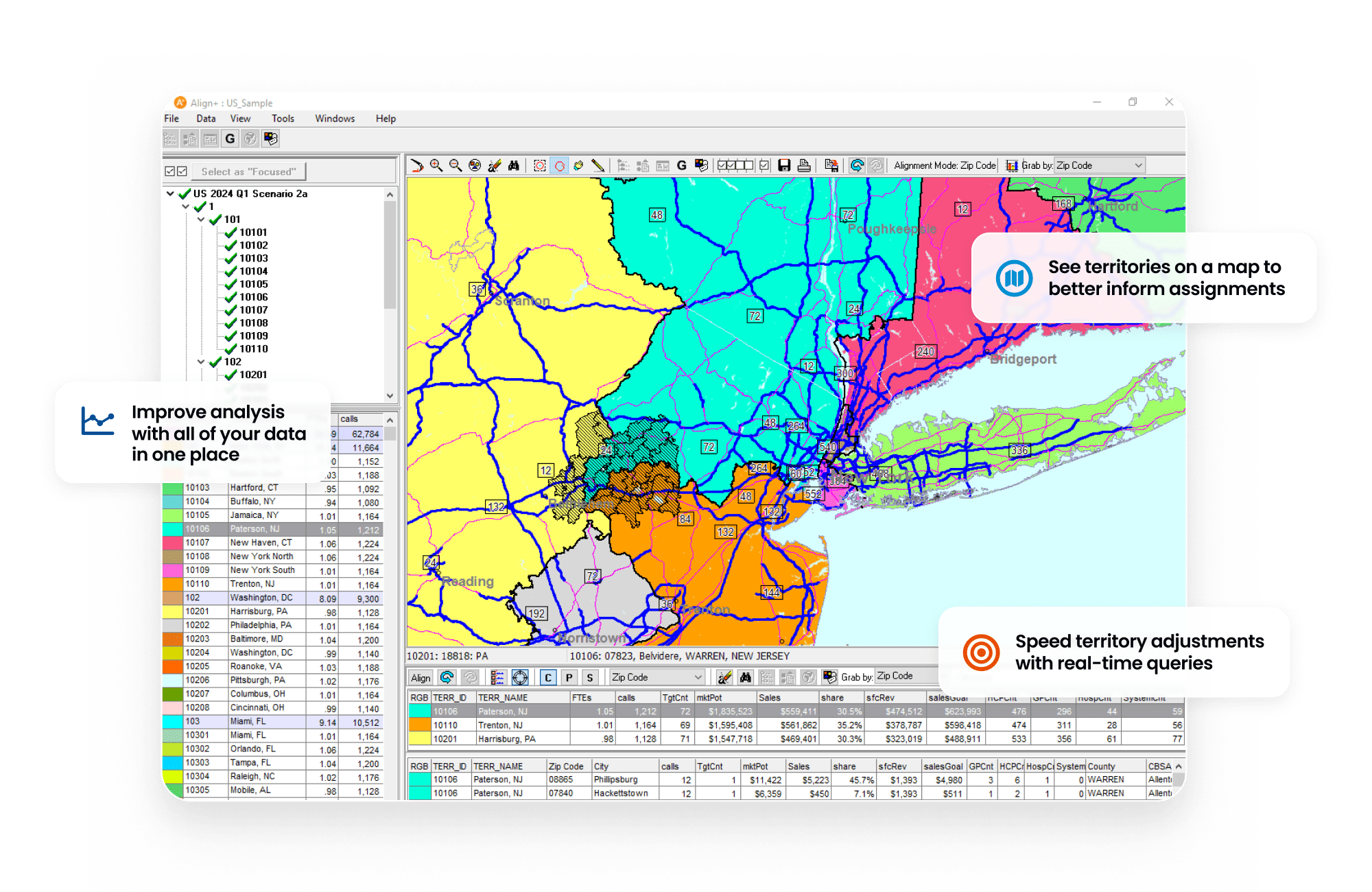
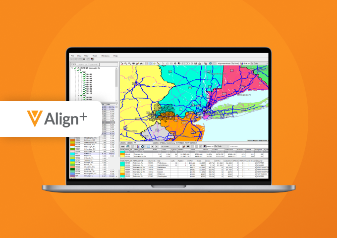
Veeva Territory Designer(旧 Veeva Align+)は、地理的テリトリーの構造と階層を定義し、それらのテリトリーをマップ上に可視化して意思決定をサポートするデスクトップアプリケーションです。マップは PowerPoint にエクスポート可能で、社外・社内での共有やプレゼンテーションに利用できます。
テリトリーは、地理的条件、総ワークロード容量、総市場ポテンシャルのほか、移動時間(車両の運転時間)などの制約条件に基づいて定義されます。
Territory Designer は、テリトリー管理、ロースター管理、およびエンゲージメント計画のための Veeva アプリケーションである Align とネイティブに統合されており、シームレスな現場展開ワークフローを実現します。
Announced 2020 Status Mature Customers11-50

機動的かつ効率的なフィールド計画の詳細を見る
Why Veeva Territory Designer
テリトリーデザインのスマート化と迅速化
Customer Success
先進のライフサイエンス企業から信頼されるソリューション


















Resources
Explore and Learn
製品カタログを読む
Veeva Territory Designer Features Brief
ブログを読む
Maximize Your Field Investment With Data-Driven Territory Design

デモを見る
Streamlined Territory Design With Veeva Territory Designer
ブログを読む
How to Accelerate Four Crucial Steps in Life Sciences Field Planning

動画を見る
Discover Agile and Efficient Field Planning